Wazuka no Sato on the map, and the sights around it
Wazuka no Sato Station is in the middle. Tap a number to go to the photos of that place (or to its introduction page, where one has been published). Distances and directions are straight-line distances calculated from the registered coordinates of each place. The actual route is longer than this; for walking times, see each place’s introduction page.
A map centred on Wazuka no Sato
Scroll the map sideways.
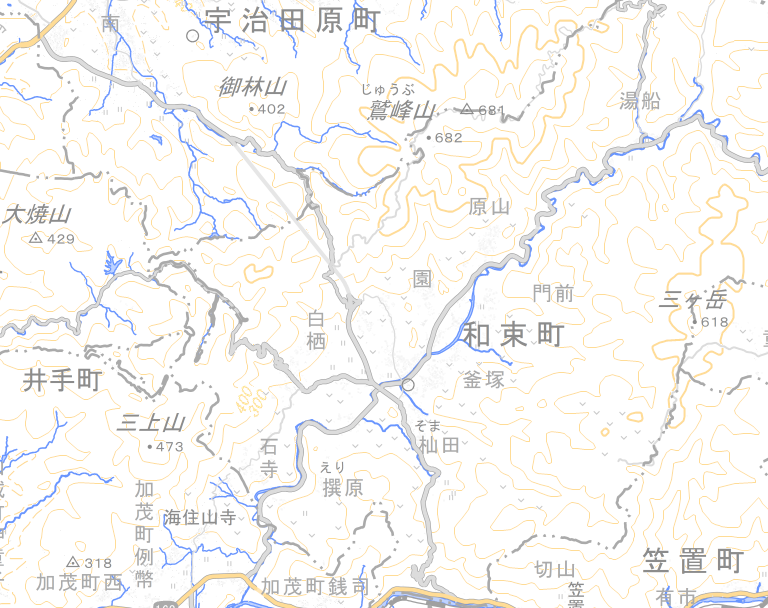
- ★Wazuka no Sato Station (the centre of this map)
- 1–12Sights (same numbers as the list below)
Map: created by editing GSI Tiles (pale map) (source: Geospatial Information Authority of Japan)
List of places (west to east)
- 1Koshigoe Pass
See photos › - 2Ishitera
See photos › - 3Shirasu
See photos › - 4Miroku Magaibutsu
See photos › - 5Erihara
See photos › - 6Wazuka Sports Park
See photos › - 7Nagai
See photos › - 8Tomb of Prince Asaka
See photos › - 9Bessho
See photos › - 10Kamatsuka
See photos › - 11Naka
See photos › - 12Yubune
See photos ›
The Harayama area is off-limits. Visits are not possible. It is not shown on the map or in the list.
Your record of places visited
The record is kept only on this device. Nothing is sent, and no sign-up is needed. Press “訪れた記録に加える” (add to my record of visits) on each place’s introduction page, and a mark appears here.